
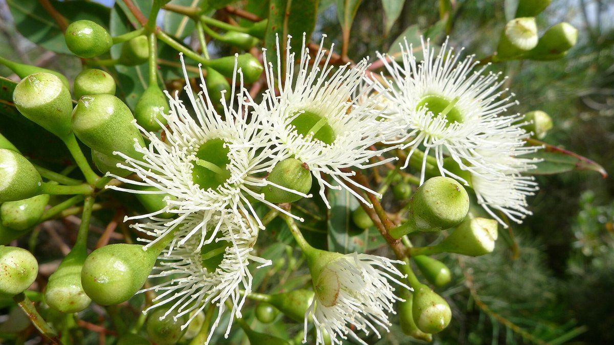
St Ives is different from the railway suburbs of Ku-ring-gai in almost every way. It's much bigger, it has more flat land on top of the ridge, and over half of it sits on sandstone soils. It also developed later, because the railway never came. All of that shows up in its gardens.
This guide is part of my series on North Shore suburbs. I've overlaid the St Ives boundary on the NSW Government's soil and vegetation maps to see what the land was like before clearing and what's happened to it since.
What grew in St Ives before 1788
The state's modelled pre-clearing map shows a much more sandstone-heavy mix than Gordon or Killara:
| Plant community | Share of the suburb |
|---|---|
| Sydney Coastal Sandstone Gully Forest | about 31% |
| Sydney Turpentine Ironbark Forest | about 24% |
| Sydney Coastal Sandstone Bloodwood Shrub Forest | about 16% |
| Blue Gum High Forest | about 11% |
| Sydney Coastal Enriched Sandstone Forest | about 8% |
| Sydney Enriched Sandstone Moist Forest | about 5% |
| Northern Sydney Scribbly Gum Woodland | about 2% |
The sandstone gully forest
The biggest community was the forest of the sandstone gullies running down to Cowan Creek and into what is now Garigal National Park. Its canopy was Sydney peppermint (Eucalyptus piperita) and Sydney red gum (Angophora costata), with some red bloodwood. Below were NSW Christmas bush (Ceratopetalum gummiferum) and old man banksia (Banksia serrata), then a thick shrub layer across the rock benches: sunshine wattle (Acacia terminalis), broad-leaf geebung (Persoonia levis), crinkle bush (Lomatia silaifolia), Platysace linearifolia, slender tea-tree (Leptospermum trinervium) and parrot pea (Dillwynia retorta).
Bloodwood forest on the ridges and Duffys Forest
On the exposed sandstone and ironstone ridges, red bloodwood (Corymbia gummifera) took over, over a rich heath of banksias, mountain devil (Lambertia formosa), hakeas, grevilleas and drumsticks (Isopogon).
Part of this country is the Duffys Forest ecological community, listed as endangered in NSW. It grows where shale lenses or ironstone (laterite) soils sit on top of the sandstone, and it's found mainly in Ku-ring-gai and the Warringah part of the Northern Beaches. Its trees are red bloodwood, black ash (Eucalyptus sieberi), Sydney red gum and stringybarks, over myrtle wattle, hairpin banksia, rusty velvet-bush and grass trees. Less than 16% of it remains.
Turpentine and blue gum forest on the shale
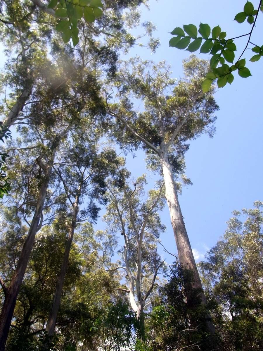
Where the shale caps the ridge, the forest was turpentine-ironbark, and on the richest ground, Blue Gum High Forest. Both are critically endangered. Dalrymple-Hay Nature Reserve in St Ives is one of the places the state government points to as an example of Blue Gum High Forest.

My which plant community guide will help you work out which of these your block belongs to.
St Ives soil type: a patchwork
St Ives has the most varied soil of the suburbs in this series:
| Soil landscape | Share of the suburb | Rock underneath | What it's like |
|---|---|---|---|
| Hawkesbury | about 29% | Hawkesbury Sandstone | Steep rocky slopes along the creeks, shallow patchy sand, extremely erodible, low fertility |
| Gymea | about 22% | Hawkesbury Sandstone | Gentler slopes with rock benches, sandy yellow earths, permeable, very low fertility |
| Glenorie | about 13% | Wianamatta shale | Red and yellow clays, heavy subsoil, high erosion hazard |
| Blacktown | about 12% | Wianamatta shale | Flat to gently sloping ridge top, hard-setting clay soils, plastic subsoil, poor drainage, low fertility |
| Lucas Heights | about 11% | Mittagong Formation | Gentle ridges, hard-setting yellow clays, stony, low fertility, holds little water |
| Oxford Falls and Lambert | about 10% together | Hawkesbury Sandstone | Smaller sandstone landscapes |
The Blacktown soil landscape is the one that sets St Ives apart from the other suburbs in this series. It forms on gently undulating shale with slopes usually under 5%, which fits the flat ridge-top land St Ives is known for. Ku-ring-gai Council's plan of management for St Ives Showground notes that most of the showground and the land south of Mona Vale Road is on Lucas Heights soil.
What that means in the garden
On the flat shale (Blacktown and Glenorie): water has nowhere to go. The Blacktown soils have hard-setting surfaces, a plastic clay subsoil and poor drainage, and they're very low in phosphorus. On flat blocks water can sit in the lawn and beds for days. Raised beds, mounding and good surface drainage away from planting areas make the biggest difference.
On Lucas Heights: hard-setting, stony and dry. Keep it mulched and add organic matter.
On the sandstone (Hawkesbury and Gymea): the soil is free-draining, strongly acidic and very low in nitrogen and phosphorus. Depth changes quickly around rock benches. These blocks suit local sandstone natives far better than lawn and exotic shrubs.
Test before you lime or feed. The pH and depth can change a lot from the front of a St Ives block to the back.
How the 1800s changed St Ives' soil
St Ives was first known as Rosedale, after Daniel Mathew's 1823 land grant. A year later Mathew opened the first sawmill in Ku-ring-gai, at the corner of Cowan Road and Stoney Creek Road (now Mona Vale Road), and built Stoney Creek Road to cart the timber to Sydney. Pittwater Road had already been built as a timber route around 1820.
Once the most valuable timber was gone, in the 1850s and 1860s, the big grants were sold off for farms and orchards. Orchards spread along Cowan Creek Road from the early 1890s, and Chinese market gardeners worked much of what is now the Village Green. A post office opened in 1885.
The big difference from Gordon, Killara and Lindfield is that St Ives never got a railway. Instead of being subdivided for commuters in the 1890s, it stayed rural. Large orchards survived until the 1930s, Italian families took up farms in the 1920s, and in the 1950s there were still market gardens, piggeries and small farms.
What that meant for the soil:
- Sawmilling from the 1820s cleared the timber off the ridge and the better gully slopes.
- Decades of orchards and market gardens, well into the 20th century, meant the ridge-top soils were cultivated for far longer than in the railway suburbs, on ground the soil survey describes as hard-setting and poorly drained.
- The steep sandstone gullies, with their shallow, rocky, infertile soils, are where the bush around St Ives survives today, in Garigal National Park and along Cowan Creek.
St Ives gardens today
Mid-century and project-home gardens
Most St Ives houses are younger than in the railway suburbs. The Housing Commission built weatherboard homes there from 1954, and many family homes, including project homes, went up between 1961 and 1976. Medium-density housing, townhouses and retirement villages followed from 1980. So many St Ives gardens date from the postwar decades, laid out around a house on a fairly flat, generous block, and many of those blocks were once orchards or market gardens.
My garden styles guide is a good place to start if you're thinking about updating a garden from this era, whether you want native, classic or a mix.
Bushland-interface gardens
St Ives is ringed by bush. Garigal National Park lies to the east, and to the north are Cowan Creek and the Ku-ring-gai Wildflower Garden, which the council set aside in 1962 and which now covers 123 hectares of bushland.
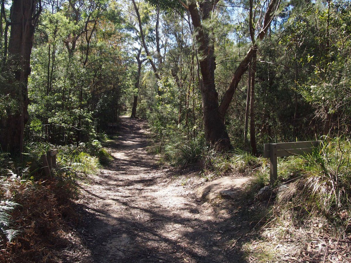
If your garden backs onto this bush, it's part of the bush edge. The Duffys Forest listing names Phytophthora (root rot), inappropriate plantings, and stormwater and nutrient runoff among the threats to the community. In practice that means choosing local plants over garden escapes, keeping garden waste and runoff out of the bush, and not bringing in soil or plants that could carry disease. Bush-edge blocks may also be mapped as bushfire prone land, so check the council rules guide before you plan new planting or clearing.
Working on your garden in St Ives
I work across Sydney's North Shore, including St Ives (see my Ku-ring-gai area page). Neighbouring suburbs in this series are St Ives Chase, North Turramurra, Pymble, Gordon and East Killara.
Sources
- NSW DCCEEW, State Vegetation Type Map, pre-1750 Plant Community Types (map service VIS/SVTM_NSW_1750_PCT), queried 13 Oct 2026
- NSW Spatial Services, NSW Administrative Boundaries, Suburb layer (St Ives, 1430 ha)
- BioNet Vegetation Classification, PCT definitions 3595, 3262, 3593, 3136, 3592, 3586 and 3259
- NSW Threatened Species profile, Duffys Forest Ecological Community in the Sydney Basin Bioregion
- NSW Threatened Species profile, Blue Gum High Forest
- NSW Threatened Species profile, Sydney Turpentine-Ironbark Forest
- NSW DCCEEW, Soil Landscapes of the Sydney 1:100,000 Sheet (Chapman & Murphy 1989; map ed. 4, 2009), map service queried 13 Oct 2026
- NSW DCCEEW eSPADE, Hawkesbury (ha) soil landscape report, from Chapman & Murphy 1989
- NSW DCCEEW eSPADE, Gymea (gy) soil landscape report, from Chapman & Murphy 1989
- NSW DCCEEW eSPADE, Glenorie (gn) soil landscape report, from Chapman & Murphy 1989
- NSW DCCEEW eSPADE, Blacktown (bt) soil landscape report, from Chapman & Murphy 1989 and the Penrith sheet
- NSW DCCEEW eSPADE, Lucas Heights (lh) soil landscape report, from Chapman & Murphy 1989
- NSW DCCEEW eSPADE, Oxford Falls (of) soil landscape report, from Chapman & Murphy 1989
- NSW DCCEEW eSPADE, Lambert (la) soil landscape report, from Chapman & Murphy 1989
- Ku-ring-gai Council, St Ives Showground and Precinct Lands Draft Plan of Management (2021)
- Dictionary of Sydney, St Ives