
St Ives Chase is the northern tip of St Ives, a residential and bushland suburb that runs right up against Ku-ring-gai Chase National Park. By my overlay, about 37% of it is inside the park. Most of the houses sit on a ridge of hard-setting yellow clay, with sandstone gullies falling away towards the park. That mix, and the park next door, is what shapes gardening here.
This guide is part of my series on North Shore suburbs. I've overlaid the St Ives Chase suburb boundary on the NSW Government's soil and vegetation maps, and looked separately at the part outside the national park, where the houses are.
What grew in St Ives Chase before 1788
| Plant community | Whole suburb | Outside the national park |
|---|---|---|
| Sydney Coastal Sandstone Gully Forest | about 66% | about 77% |
| Sydney Coastal Sandstone Bloodwood Shrub Forest | about 19% | about 8% |
| Sydney Enriched Sandstone Moist Forest | about 6% | about 4.6% |
| Sydney Coastal Shale-Sandstone Forest | about 5% | about 7.6% |
| Woronora Plateau Heath-Mallee | about 2% | under 1% |
| Sydney Turpentine Ironbark Forest | about 1.5% | about 2.4% |
| Sydney Coastal Coachwood Gallery Rainforest | about 1% | under 1% |
Sydney peppermint and red gum forest
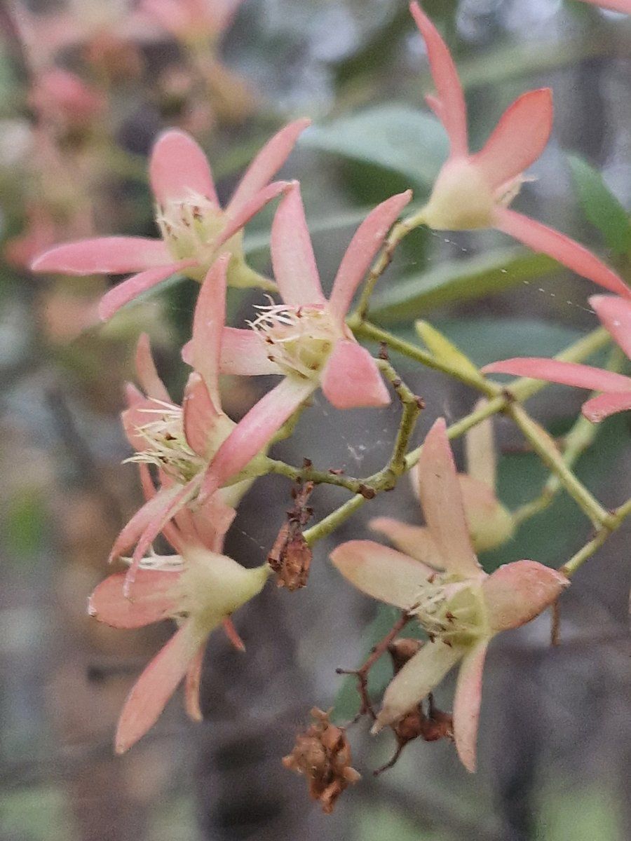
Two-thirds of St Ives Chase, and more than three-quarters of the land outside the park, is mapped as Sydney Coastal Sandstone Gully Forest. BioNet describes a canopy that very frequently includes a high cover of Sydney peppermint (Eucalyptus piperita) and Sydney red gum (Angophora costata), with a sparse layer of small trees that very frequently includes NSW Christmas bush (Ceratopetalum gummiferum) and old man banksia, and a dense shrub layer across rocky benches. The NSW Government estimates only about 15% of this community has been cleared, so a lot of it is still standing.
One thing to be aware of: the vegetation map shows gully forest over much of the ridge where the soil map shows Lucas Heights clay. The two maps were made separately and at different scales, so on any one block the boundary between communities could be in a slightly different spot.
Heathy bloodwood forest on the exposed crests
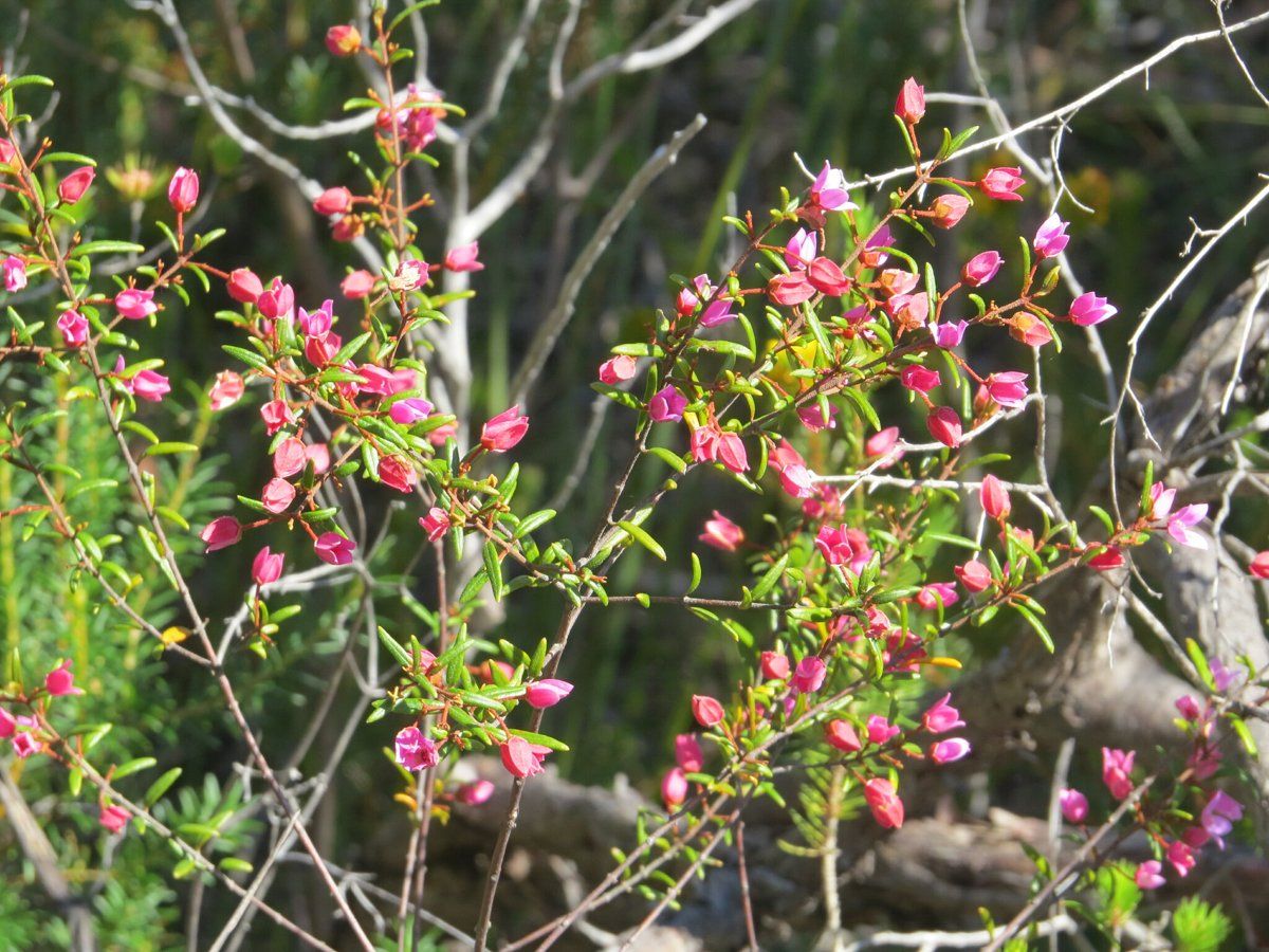
The more exposed sandstone was Sydney Coastal Sandstone Bloodwood Shrub Forest: red bloodwood over a dense, species-rich heath. Where shale or ironstone caps the sandstone, this kind of forest can be part of the Duffys Forest ecological community, which is endangered in NSW and occurs mainly in the Northern Beaches and Ku-ring-gai.
My which plant community guide can help you work out which community your block belonged to.
St Ives Chase soil type: yellow clay and sandstone
| Soil landscape | Whole suburb | Outside the national park | What it's like |
|---|---|---|---|
| Lucas Heights | about 39% | about 47% | Hard-setting yellow clay soils on the Mittagong Formation, stony, low fertility |
| Hawkesbury | about 39% | about 28% | Steep, rocky, shallow sand, extreme erosion hazard, very low fertility |
| Gymea | about 15.5% | about 22% | Sandy soils with rock benches, permeable, very low fertility |
| Lambert | about 3.5% | under 1% | Shallow sands on exposed ridges, perched water tables |
| Glenorie | about 2% | about 3% | Friable loam over deep red and yellow shale clay |
What that means in the garden
On the ridge (Lucas Heights): nearly half the land outside the park. The soil survey describes hard-setting yellow podzolic soils, typically 50 to 150 cm deep, on the Mittagong Formation, a band of interbedded shale, laminite and fine sandstone. They're stony, low in fertility and hold little water, and the subsoil is occasionally sodic and impermeable. The survey uses St Ives as one of its examples of this landscape.
In practice: the surface bakes hard in summer and the subsoil can stay wet in winter. Keep adding organic matter to the surface, keep it mulched, and water deeply but less often.
On the slopes (Hawkesbury and Gymea): sandy, shallow and very low in nitrogen and phosphorus, with an extreme erosion hazard on the steep ground. The topsoil is commonly water repellent when dry. These are natives' soils, and my native plant finder can help you choose plants that suit them.
How the 1800s changed St Ives Chase's soil
This is where I have to be honest: I haven't found a reliable history of St Ives Chase as a place before the 20th century. The Dictionary of Sydney has only a short record for it, noting it was probably named after the town in Cornwall and borders Ku-ring-gai Chase National Park. The main St Ives history covers early land grants, timber-getting and later orchards in the district as a whole, but doesn't say how far north into what is now St Ives Chase any of that went.
What I can say from the maps:
- The steep Hawkesbury sandstone, which the soil survey rates as generally not capable of urban development, is still largely bush, and much of it is in Ku-ring-gai Chase National Park.
- The ridge where the houses are was cleared at some stage, but I haven't found a reliable source that says when, or what it was used for first.
- I'm not going to guess at 1800s farming in St Ives Chase without a source. If you know of a good local history, I'd like to read it.
St Ives Chase gardens today
Next door to a national park
St Ives Chase borders Ku-ring-gai Chase National Park, and a lot of blocks back onto it or onto bushland reserves. The council lists no heritage conservation areas here.
The NSW Government lists inappropriate plantings and stormwater and nutrient runoff among the threats to the Duffys Forest community. The soil survey also notes that garden escapes like privet, lantana, morning glory and wandering jew wash into the sandstone valleys with sediment. My weeds guide covers which plants to replace first.
Working with clay and sand on one block
Because the clay ridge and the sandstone slopes sit side by side, some blocks have a bit of both. They need different handling: organic matter and drainage on the clay, low-phosphorus natives and mulch on the sand.
Working on your garden in St Ives Chase
I work across Sydney's North Shore, including St Ives Chase (see my Ku-ring-gai area page). Nearby suburbs in this series are St Ives and North Turramurra.
Sources
- NSW DCCEEW, State Vegetation Type Map, pre-1750 Plant Community Types (map service VIS/SVTM_NSW_1750_PCT), queried 13 Oct 2026
- NSW Spatial Services, NSW Administrative Boundaries, Suburb layer (St Ives Chase, 348 ha) and NPWS Reserve layer (overlay: about 130 ha, 37%, inside Ku-ring-gai Chase National Park)
- BioNet Vegetation Classification, PCT definitions 3595, 3593, 3176 and 3259
- NSW Threatened Species profile, Duffys Forest Ecological Community in the Sydney Basin Bioregion
- NSW DCCEEW, Soil Landscapes of the Sydney 1:100,000 Sheet (Chapman & Murphy 1989; map ed. 4, 2009), map service Soil_Landscape/Sydney queried 13 Oct 2026
- NSW DCCEEW eSPADE, Lucas Heights (lh) soil landscape report, from Chapman & Murphy 1989
- NSW DCCEEW eSPADE, Hawkesbury (ha) soil landscape report, from Chapman & Murphy 1989
- NSW DCCEEW eSPADE, Gymea (gy) soil landscape report, from Chapman & Murphy 1989
- Dictionary of Sydney, St Ives Chase (place record)