
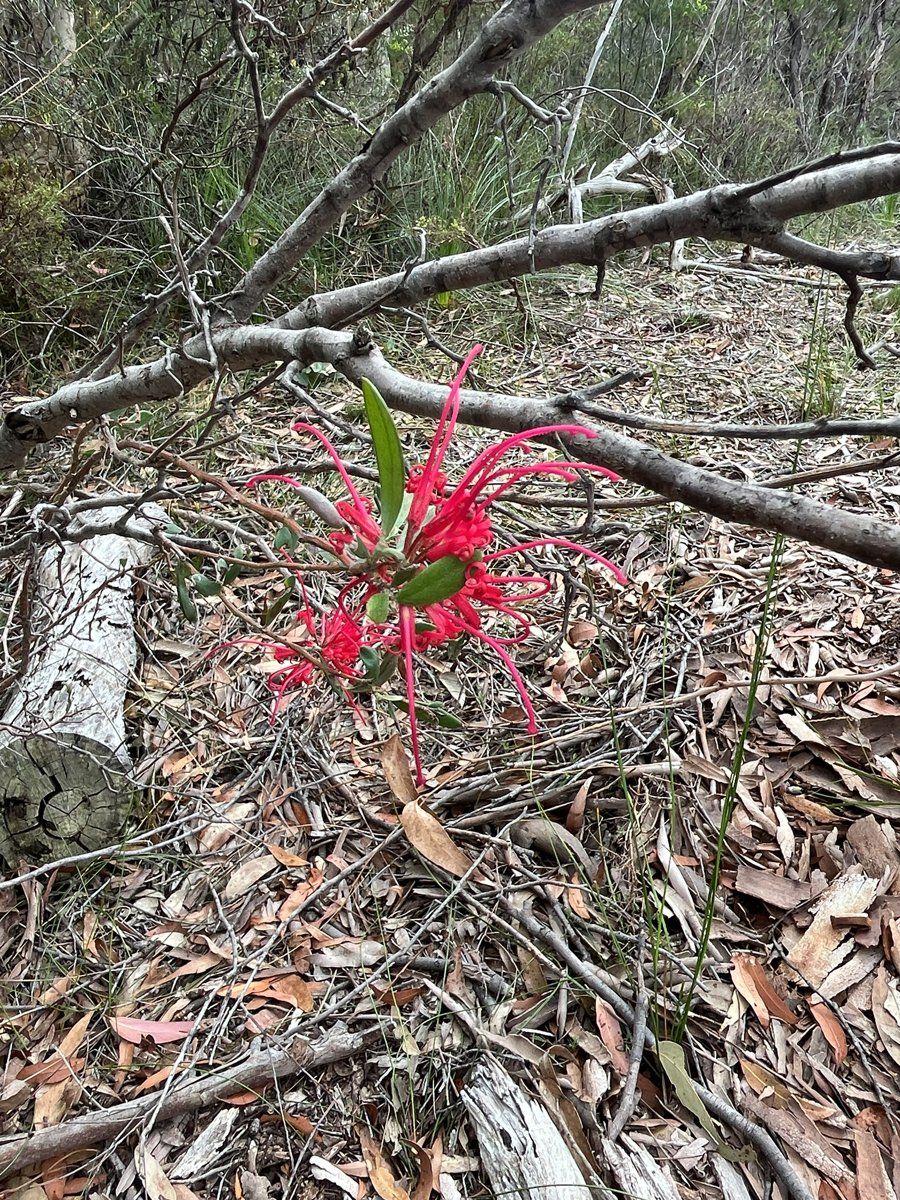
North Wahroonga is the part of Wahroonga that runs out along the sandstone ridges towards Ku-ring-gai Chase National Park. By my overlay, about a third of the suburb is inside the national park itself. Where Wahroonga's gardens are mostly built on shale clay, North Wahroonga's are mostly built on sandstone.
This guide is part of my series on North Shore suburbs. I've overlaid the North Wahroonga suburb boundary on the NSW Government's soil and vegetation maps, and looked separately at the part outside the national park, where the houses are.
What grew in North Wahroonga before 1788
| Plant community | Whole suburb | Outside the national park |
|---|---|---|
| Sydney Coastal Sandstone Gully Forest | about 30% | about 30% |
| Sydney Coastal Sandstone Bloodwood Shrub Forest | about 27% | about 22% |
| Sydney Turpentine Ironbark Forest | about 17% | about 26% |
| Sydney Coastal Shale-Sandstone Forest | about 9% | about 8% |
| Sydney Enriched Sandstone Moist Forest | about 4.5% | about 2% |
| Hornsby Enriched Sandstone Exposed Woodland | about 4% | under 1% |
| Woronora Plateau Heath-Mallee | about 4% | about 6% |
| Sydney Coastal Enriched Sandstone Forest | about 4% | about 5% |
Heathy bloodwood forest on the ridges
The exposed sandstone crests were mostly Sydney Coastal Sandstone Bloodwood Shrub Forest. BioNet describes a canopy almost always dominated by red bloodwood (Corymbia gummifera), over old man banksia and a dense, species-rich heath of shrubs like mountain devil (Lambertia formosa), broad-leaved geebung (Persoonia levis) and slender tea-tree (Leptospermum trinervium), often with several species each of hakea, grevillea, banksia and isopogon. It says the community is extensive across the Hornsby plateau, including Ku-ring-gai Chase.
Where a little shale or ironstone caps the sandstone, this kind of bloodwood forest can be part of the Duffys Forest ecological community, which is listed as endangered in NSW. The NSW Government says it occurs mainly in the Northern Beaches and Ku-ring-gai, and that threats include inappropriate plantings and stormwater and nutrient runoff from nearby gardens.
The vegetation map also shows small areas of two heathier communities on the most exposed rock: Hornsby Enriched Sandstone Exposed Woodland, and a heath-mallee community that the map labels Woronora Plateau Heath-Mallee. That label refers to a plateau in southern Sydney, but BioNet describes the same kind of dense heath of heath-leaved banksia (Banksia ericifolia) and other shrubs on exposed, skeletal sandstone, which is what it represents here.
Turpentine-ironbark and gully forest
About a quarter of the land outside the park was Sydney Turpentine-Ironbark Forest, which is critically endangered, with about 96% cleared across its range. The gullies running down to the creeks were Sydney Coastal Sandstone Gully Forest of Sydney peppermint and Sydney red gum.
My which plant community guide explains how to work out which of these your block once was.
North Wahroonga soil type: sandstone ridges
| Soil landscape | Whole suburb | Outside the national park | What it's like |
|---|---|---|---|
| Hawkesbury | about 56% | about 58% | Steep, rocky, shallow sand, extreme erosion hazard, very low fertility |
| Lucas Heights | about 22% | about 28% | Hard-setting yellow clay soils, stony, low fertility, holds little water |
| Lambert | about 13% | under 1% | Shallow sands on exposed ridges, perched water tables |
| Gymea | about 5% | about 8% | Sandy soils with rock benches, permeable, very low fertility |
| Disturbed terrain | about 4% | about 5% | Fill and cut ground; soil depends on the fill |
What that means in the garden
Most blocks (Hawkesbury and Gymea): the soil survey describes Hawkesbury soils as shallow, discontinuous sands, generally less than 50 cm deep, on steep rocky ground with an extreme erosion hazard. The topsoil is commonly water repellent, and it's severely deficient in nitrogen and phosphorus. Gymea soils on the gentler benches are a little deeper but still sandy, highly permeable and very low in nutrients.
In practice: choose plants from the local sandstone communities, keep phosphorus-rich fertilisers away from them, and slow water down with mulch, so it soaks in instead of carrying soil off the slope. My native plant finder is a good starting point.
In the south, towards Wahroonga (Lucas Heights): a hard-setting, stony yellow clay on the Mittagong Formation, low in fertility and slow to take water. Add organic matter to the surface and mulch well.
Disturbed terrain: the soil map marks some ground where the original soil has been replaced by fill or cut away. The survey notes fill is commonly capped with sandy loam or compacted clay, and that what you can grow depends on the fill. Check before digging deep or planting large trees.
How the 1800s changed North Wahroonga's soil
I'll be straight: I haven't found a reliable, detailed history of North Wahroonga in the 1800s. It was the bushland edge of Wahroonga, and the histories I can find focus on the railway side of the suburb. The Dictionary of Sydney's Wahroonga entry says the first Europeans to work in the district were sawyers assigned to Thomas Hyndes, and orchards followed once land was cleared, but it doesn't say how far north that clearing went.
What the records do show is that some of North Wahroonga was still Crown land in the 1960s. A sale plan held by the State Library of NSW covers "Crown Lands, North Wahroongah", in Curtin, Watson and Forrest avenues, in March 1962.
What that meant for the soil:
- Parts of the suburb stayed Crown land until the 1960s, so the soil there was never part of the 1800s orchard district as far as I can tell.
- The steep Hawkesbury sandstone, which the soil survey rates as generally not capable of urban development, is still bush, and a large part of it is in Ku-ring-gai Chase National Park.
- I'm not going to guess how much timber-getting or farming happened elsewhere in the suburb without a source.
North Wahroonga gardens today
Bush on the doorstep
North Wahroonga borders Ku-ring-gai Chase National Park, and plenty of blocks look straight into it.
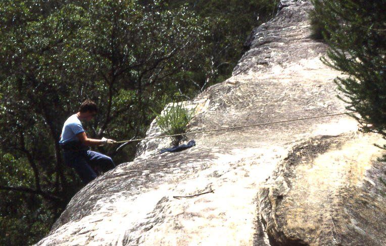

The council lists no heritage conservation areas in North Wahroonga, but the bushland around it is protected, and gardens are part of what keeps it healthy. The NSW Government lists inappropriate plantings and nutrient-rich runoff among the threats to the Duffys Forest community, and the soil survey notes that garden escapes like privet, lantana, morning glory and wandering jew wash into the sandstone valleys. My weeds guide covers which garden plants to replace first.
Gardening on rock
On shallow sandstone, a lot of the work is about soil depth. Raised beds give exotic plants a chance, but on most North Wahroonga blocks I'd rather work with the rock: local heath and woodland plants, rock gardens, and mulch to hold what little soil there is.
Working on your garden in North Wahroonga
I work across Sydney's North Shore, including North Wahroonga (see my Ku-ring-gai area page). Nearby suburbs in this series are Wahroonga, Warrawee, North Turramurra and Hornsby.
Sources
- NSW DCCEEW, State Vegetation Type Map, pre-1750 Plant Community Types (map service VIS/SVTM_NSW_1750_PCT), queried 13 Oct 2026
- NSW Spatial Services, NSW Administrative Boundaries, Suburb layer (North Wahroonga, 388 ha) and NPWS Reserve layer (overlay: about 137 ha, 35%, inside Ku-ring-gai Chase National Park)
- BioNet Vegetation Classification, PCT definitions 3595, 3593, 3262, 3259, 3814 and 1782
- NSW Threatened Species profile, Sydney Turpentine-Ironbark Forest in the Sydney Basin Bioregion
- NSW Threatened Species profile, Duffys Forest Ecological Community in the Sydney Basin Bioregion
- NSW DCCEEW, Soil Landscapes of the Sydney 1:100,000 Sheet (Chapman & Murphy 1989; map ed. 4, 2009), map service Soil_Landscape/Sydney queried 13 Oct 2026
- NSW DCCEEW eSPADE, Hawkesbury (ha) soil landscape report, from Chapman & Murphy 1989
- NSW DCCEEW eSPADE, Lucas Heights (lh) soil landscape report, from Chapman & Murphy 1989
- NSW DCCEEW eSPADE, Lambert (la) soil landscape report, from Chapman & Murphy 1989
- NSW DCCEEW eSPADE, Gymea (gy) soil landscape report, from Chapman & Murphy 1989
- NSW DCCEEW eSPADE, Disturbed Terrain (xx) soil landscape report
- Dictionary of Sydney, North Wahroonga (place record)
- State Library of NSW, Wahroonga subdivision plans (content list)