
Wahroonga is split between two councils. By my overlay of the council boundaries, about 810 hectares, most of the suburb, is in Ku-ring-gai, and about 165 hectares on the north-western side is in Hornsby Shire. The soil doesn't care about council boundaries, though. More than half the suburb sits on the same deep shale clay that runs along the whole Pacific Highway ridge, with sandstone in the valleys.
This guide is part of my series on North Shore suburbs. I've overlaid the Wahroonga suburb boundary on the NSW Government's soil and vegetation maps to see what was here before clearing.
What grew in Wahroonga before 1788
| Plant community | Share of the suburb |
|---|---|
| Blue Gum High Forest | about 58.5% |
| Sydney Turpentine Ironbark Forest | about 19% |
| Sydney Coastal Enriched Sandstone Forest | about 11.5% |
| Sydney Enriched Sandstone Moist Forest | about 4.4% |
| Sydney Coastal Sandstone Gully Forest | about 2.8% |
| Sydney Coastal Shale-Sandstone Forest | about 1.9% |
| Sydney Coastal Sandstone Bloodwood Shrub Forest | about 1.5% |
Blue Gum High Forest across the ridge
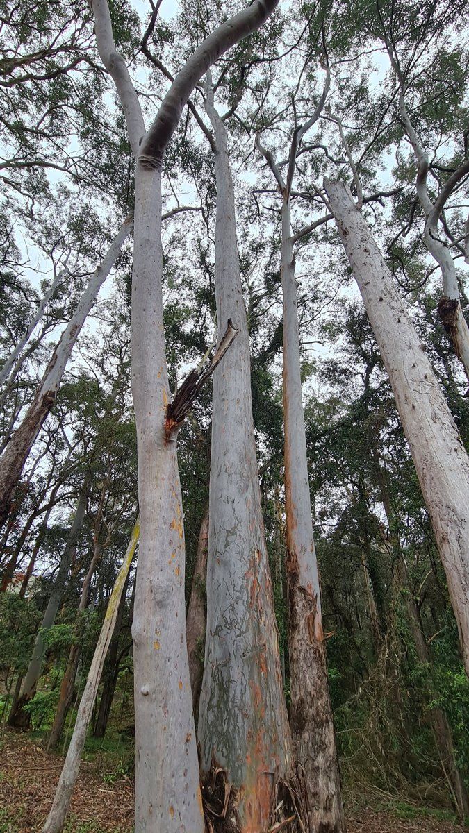
Well over half of Wahroonga was Blue Gum High Forest, with Sydney blue gum (Eucalyptus saligna) and blackbutt (Eucalyptus pilularis) on deep shale soil. It's critically endangered in NSW and nationally, and the NSW Government estimates about 99% of it has been cleared across its range.
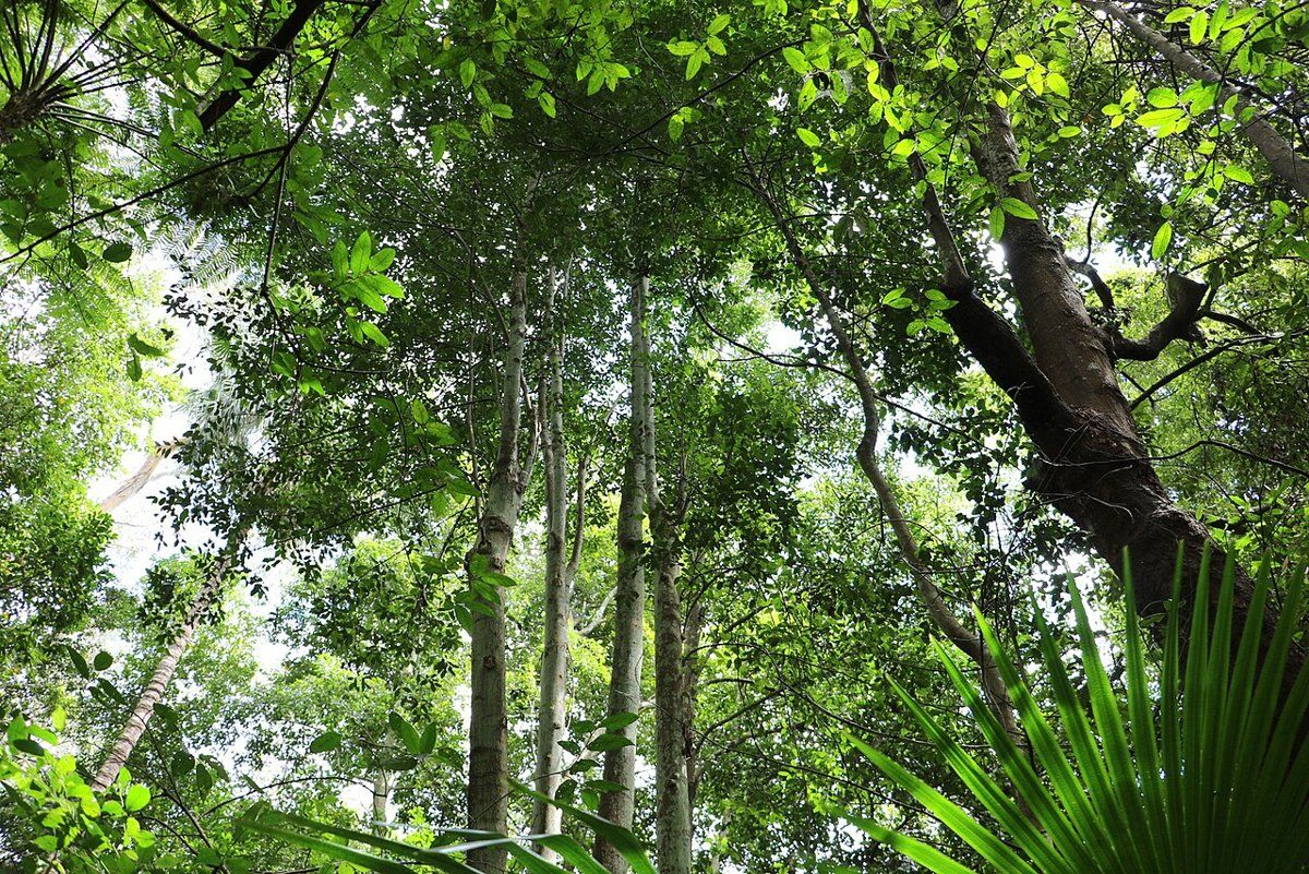
Turpentine-ironbark forest, also critically endangered, grew around the edges of the blue gum. Downslope, the shale gave way to sandstone forest of Sydney red gum, red bloodwood and Sydney peppermint, and the sheltered gullies held moist forest.

To work out which community your block belonged to, try my which plant community guide.
Wahroonga soil type: shale ridge, sandstone valleys
| Soil landscape | Share of the suburb | Rock underneath | What it's like |
|---|---|---|---|
| Glenorie | about 57% | Wianamatta shale | Friable loam over deep red and yellow clay. Acidic, moderately reactive, waterlogs in places |
| Hawkesbury | about 14.5% | Hawkesbury Sandstone | Steep, rocky, shallow sand, extreme erosion hazard, very low fertility |
| Lucas Heights | about 14.4% | Mittagong Formation | Hard-setting yellow clay soils, stony, low fertility, holds little water |
| Gymea | about 7% | Hawkesbury Sandstone | Sandy soils with rock benches, permeable, very low fertility |
| West Pennant Hills | about 6% | Shale and shale colluvium | Steep slopes, deep clay, mass movement hazard, plastic shrink-swell subsoil |
| Hornsby | under 1% | Volcanic breccia | Deep clay soils on weathered volcanic rock, highly reactive subsoil |
What that means in the garden
On the ridge (Glenorie): deep clay with a friable topsoil, up to about 15 cm deep on the crests. The survey measured the topsoil at about pH 5.0 to 6.0 and the clay at about pH 4.0 to 5.5. Drainage is the main issue, especially on flat ground and in low spots, where the clay can stay wet. Build beds up, add organic matter on top rather than digging it deep, and keep the surface mulched so it doesn't set hard.
On the steep shale slopes (West Pennant Hills): the survey names Wahroonga as one of the places on the highway ridge where this steep, mostly south-west-facing landscape occurs. It rates it as a mass movement hazard, so be careful with cuts, retaining walls and where stormwater goes.
In the sandstone valleys (Hawkesbury and Gymea): shallow, sandy and very low in nitrogen and phosphorus. The survey describes the Hawkesbury landscape as mostly uncleared and generally not capable of urban development, which helps explain why so many of Wahroonga's valleys are still bush.
How the 1800s changed Wahroonga's soil
The first Europeans to work here were sawyers assigned to Thomas Hyndes, a convict who became a wealthy landowner and held the largest original land grant in the district. Timber came first, and once the land was cleared, orchards followed. The area was known as Pearces Corner, after Aaron Pierce, a timber-getter who built a slab hut here in 1835.
The railway station opened on 1 January 1890 as Pearces Corner and was renamed Wahroonga that August. Real growth waited until the line was extended to Milsons Point in 1893, which made it possible to commute to the city by train and ferry. Orchardists sold off large parcels, and many fine houses went up. The population rose from 941 in 1891 to 1,353 in 1901.
In 1899, when there were only three houses in Fox Valley Road, the Seventh-day Adventists bought land there. Their large building was up by 1903 and became the Sanitarium hospital.
What that meant for the soil:
- Logging the blue gum ridge removed the forest that had built Wahroonga's best soil.
- Orchards on cleared land meant decades of cultivated shale, which the survey rates as a high erosion hazard once bare.
- Subdivision after 1893 brought grand houses with large grounds and, alongside them, small weatherboard cottages for the people who worked in them. Later infill, from the 1920s through to 1980, cut many of the big blocks up again.
Wahroonga gardens today
Heritage gardens on both sides of the council boundary
Wahroonga has heritage conservation areas under both councils. On the Ku-ring-gai side the council lists the Mahratta Conservation Area, the Wahroonga Conservation Area, and the Heydon Avenue Warrawee and Woodville Avenue Wahroonga Conservation Area. On the Hornsby side, the shire's six HCAs include Wahroonga and Wahroonga (North). The rules aren't the same in each council, so check which side of the boundary you're on before you plan changes to a front garden, fence or trees.
My heritage and classic gardens guide covers planting for Federation and inter-war houses, and the council rules guide links to both councils' tree and heritage rules.
Bushland setting
The Dictionary of Sydney notes that Wahroonga still keeps a natural bushland setting in its residential areas. Many blocks back onto sandstone valleys or reserves. These gardens are the bush edge: local plants suit them best, and garden waste or escaped garden plants do the most damage here.
Big old trees on clay
On the clay ridge, big trees are part of the character of Wahroonga's streets and gardens. Looking after them mostly comes down to protecting their roots from compaction and soil level changes during building work, and getting the right advice before pruning or removal.
Working on your garden in Wahroonga
I work across Sydney's North Shore, including both the Ku-ring-gai and Hornsby Shire sides of Wahroonga. Nearby suburbs in this series are Warrawee, North Wahroonga, Turramurra and Hornsby.
Sources
- NSW DCCEEW, State Vegetation Type Map, pre-1750 Plant Community Types (map service VIS/SVTM_NSW_1750_PCT), queried 13 Oct 2026
- NSW Spatial Services, NSW Administrative Boundaries, Suburb layer (Wahroonga, 974 ha) and Local Government Area layer (overlay: about 809 ha in Ku-ring-gai, about 165 ha in Hornsby Shire)
- BioNet Vegetation Classification, PCT definitions 3136, 3262, 3592 and 3176
- NSW Threatened Species profile, Blue Gum High Forest in the Sydney Basin Bioregion
- NSW Threatened Species profile, Sydney Turpentine-Ironbark Forest in the Sydney Basin Bioregion
- NSW DCCEEW, Soil Landscapes of the Sydney 1:100,000 Sheet (Chapman & Murphy 1989; map ed. 4, 2009), map service Soil_Landscape/Sydney queried 13 Oct 2026
- NSW DCCEEW eSPADE, Glenorie (gn) soil landscape report, from Chapman & Murphy 1989
- NSW DCCEEW eSPADE, Hawkesbury (ha) soil landscape report, from Chapman & Murphy 1989
- NSW DCCEEW eSPADE, Lucas Heights (lh) soil landscape report, from Chapman & Murphy 1989
- NSW DCCEEW eSPADE, West Pennant Hills (wp) soil landscape report, from Chapman & Murphy 1989
- Rowland J, Wahroonga, Dictionary of Sydney, 2008
- Heritage NSW, Wahroonga Railway Station group, State Heritage Inventory
- "Ku-ring-gai Council, Heritage conservation areas (list of HCAs by suburb, history of the listings, and note that fences, trees and gardens contribute to significance), read 13 Oct 2026
- Hornsby Shire Council, Heritage conservation areas (six HCAs under Hornsby LEP 2013 Schedule 5 Part 2: Beecroft-Cheltenham, Hornsby West Side, The Crescent (Pennant Hills), Wahroonga, Wahroonga (North) and Barker College; HCA controls in Hornsby DCP Parts 9.6 to 9.13), read 13 Oct 2026