
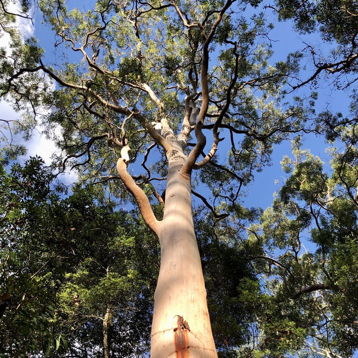
South Turramurra is a small suburb, about 300 hectares, on a plateau above the Lane Cove River, with bushland on almost every side. It's also the place the NSW soil survey picks as an example of its Lucas Heights soil landscape, which covers more than half the suburb. That one fact explains a lot about gardening here.
This guide is part of my series on North Shore suburbs. I've overlaid the South Turramurra suburb boundary on the NSW Government's soil and vegetation maps to see what was here before clearing.
What grew in South Turramurra before 1788
| Plant community | Share of the suburb |
|---|---|
| Sydney Coastal Enriched Sandstone Forest | about 47% |
| Sydney Coastal Shale-Sandstone Forest | about 19% |
| Sydney Coastal Sandstone Gully Forest | about 16% |
| Sydney Enriched Sandstone Moist Forest | about 10% |
| Northern Sydney Scribbly Gum Woodland | about 4% |
| Sydney Coastal Sandstone Bloodwood Shrub Forest | about 2% |
| Sydney Coastal Coachwood Gallery Rainforest | about 1.4% |
No blue gum here
Unlike Turramurra up on the ridge, South Turramurra had no Blue Gum High Forest on the map. Nearly half the suburb was Sydney Coastal Enriched Sandstone Forest, with Sydney red gum (Angophora costata), red bloodwood and Sydney peppermint over a shrubby understorey. About a fifth was Sydney Coastal Shale-Sandstone Forest, a tall forest with a grassy ground cover that the NSW Government describes as growing on clay-influenced sandstone crests. It's also the most heavily cleared community here, at an estimated 69%.
Rainforest in the gullies
The Dictionary of Sydney notes that pockets of rainforest remain in the bushland around the suburb, though open woodland predominates. The vegetation map agrees: there's a small amount of coachwood rainforest and moist forest in the sheltered gullies running down to the river.
My which plant community guide can help you work out which of these your block belonged to.
South Turramurra soil type: Lucas Heights clay
| Soil landscape | Share of the suburb | Rock underneath | What it's like |
|---|---|---|---|
| Lucas Heights | about 54.5% | Mittagong Formation | Hard-setting yellow clay soils, stony, low fertility, holds little water |
| Hawkesbury | about 37.5% | Hawkesbury Sandstone | Steep, rocky, shallow sand, extreme erosion hazard, very low fertility |
| Gymea | about 7% | Hawkesbury Sandstone | Sandy soils with rock benches, permeable, very low fertility |
What that means in the garden
On the plateau (Lucas Heights): this soil forms on the Mittagong Formation, a thin band of interbedded shale, laminite and fine sandstone between the shale and the Hawkesbury Sandstone. The soil survey describes hard-setting yellow podzolic soils, typically 50 to 150 cm deep, that are stony, low in fertility and hold little water. The subsoil is occasionally sodic and impermeable.
In practice, that means soil that bakes hard in summer and stays wet in winter when water can't get through the subsoil. I'd keep adding organic matter to the surface, keep it mulched, water deeply rather than often, and be careful about adding gypsum or lime without a soil test.
On the slopes (Hawkesbury and Gymea): as soon as the ground falls away towards the river, it's sandstone. Shallow, sandy, rocky soil with very low nutrients and an extreme erosion hazard on the steep slopes. The soil survey describes this landscape as generally not capable of urban development, which helps explain why so much of it is still bush. Local natives are the best fit, and my native plant finder can help you choose plants for sandy soil.
How the 1800s changed South Turramurra's soil
The Tarramerragal people lived on the eastern side of the Lane Cove River. The first European settler was Thomas Boyd, who arrived in 1839 and planted a large orchard. It was subdivided in 1884. Citrus came first, followed by apples, pears, peaches, plums and cherries.
The first subdivision, the Lane Cove Estate, was Crown land advertised in 1857 and bought by the retailer Anthony Hordern. Development started around 1885 but was slow because of the steep terrain and poor roads. In the 1920s the big orchards were sold and turned into market gardens. Millicent Pacey ran more than 1,000 chickens in the 1930s. Vegetables and flowers were grown commercially, and the Rast Brothers' nursery in Kissing Point Road operated for over 80 years.
The soil survey lists the very same rural uses on Lucas Heights soils: citrus orchards, market gardens and poultry farms. South Turramurra fits that history closely.
What that meant for the soil:
- Clearing the plateau for orchards removed the forest from the flattest, most workable ground.
- Decades of market gardening and flower growing kept much of the cleared plateau under cultivation into the 1930s and beyond.
- Septic tanks served most houses until sewerage was finally completed in 1976, which is worth knowing if you're digging in an older garden.
South Turramurra gardens today
A late suburb on big blocks
The Dictionary of Sydney says people moved here because land was cheap and the blocks were big enough to grow flowers and produce. The area stayed mainly rural until the late 1950s and early 1960s, when the Marcus Clark Estate was sold, and the shops opened in December 1959. Turramurra High School opened in 1968 on the site of a former peach orchard. So much of the suburb as it looks now is post-war, and the council lists no heritage conservation areas in South Turramurra.
Bush on every side
Parks include Bradley Reserve, Canoon Recreation Area and Sir David Martin Reserve, and the suburb runs down into the Lane Cove valley.
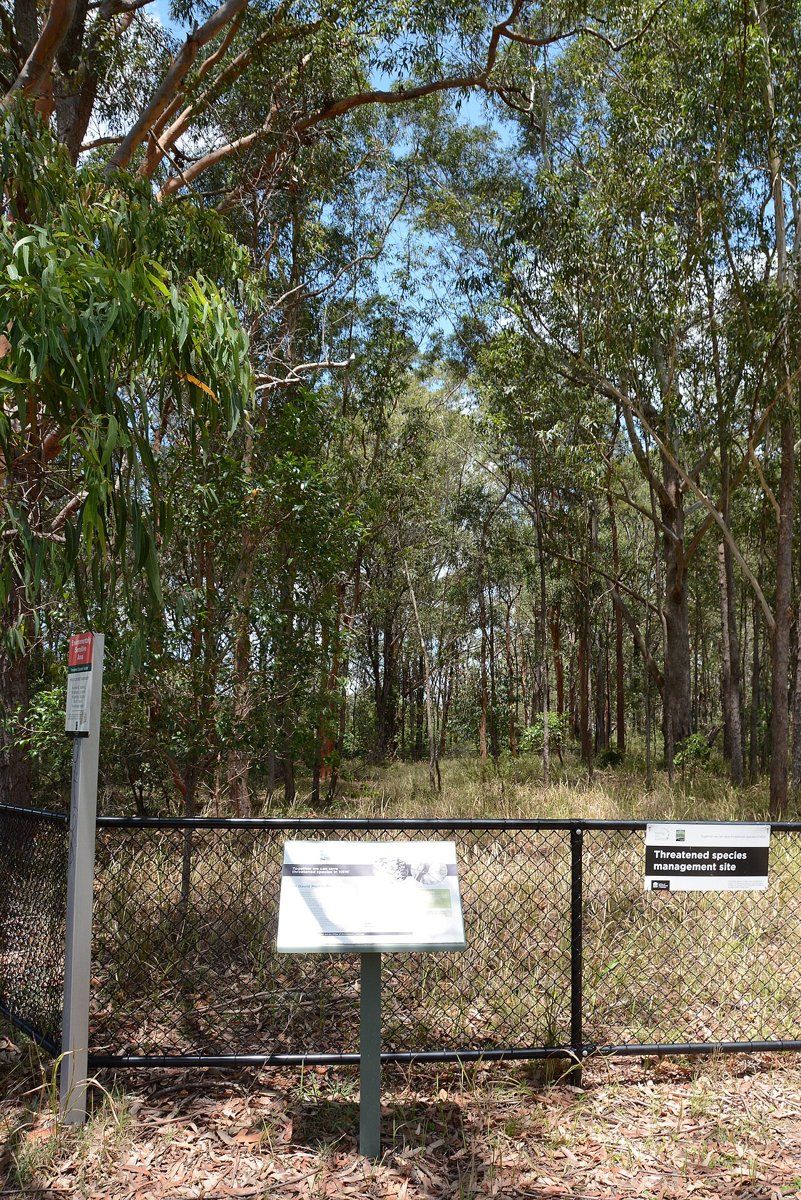
With bushland this close, garden plants and garden waste can easily end up in the reserves. The soil survey notes weeds like privet, lantana, morning glory and wandering jew washing into the sandstone valleys with sediment. My weeds guide covers which garden plants to replace first.
Working on your garden in South Turramurra
I work across Sydney's North Shore, including South Turramurra (see my Ku-ring-gai area page). Nearby suburbs in this series are Turramurra, West Pymble and Pymble.
Sources
- NSW DCCEEW, State Vegetation Type Map, pre-1750 Plant Community Types (map service VIS/SVTM_NSW_1750_PCT), queried 13 Oct 2026
- NSW Spatial Services, NSW Administrative Boundaries, Suburb layer (South Turramurra, 307 ha)
- BioNet Vegetation Classification, PCT definitions 3592, 3259, 3595, 3176, 3586 and 3038
- NSW DCCEEW, Soil Landscapes of the Sydney 1:100,000 Sheet (Chapman & Murphy 1989; map ed. 4, 2009), map service Soil_Landscape/Sydney queried 13 Oct 2026
- NSW DCCEEW eSPADE, Lucas Heights (lh) soil landscape report, from Chapman & Murphy 1989
- NSW DCCEEW eSPADE, Hawkesbury (ha) soil landscape report, from Chapman & Murphy 1989
- NSW DCCEEW eSPADE, Gymea (gy) soil landscape report, from Chapman & Murphy 1989
- Rowland J, South Turramurra, Dictionary of Sydney, 2011