
East Lindfield is the part of Lindfield that runs east off the ridge and down towards Middle Harbour. It became a separate suburb in 1994, and the Dictionary of Sydney describes it as surrounded on three sides by bushland, around Gordon Creek to the north, Middle Harbour to the east and Moores Creek Reserve. It's sandstone country, and that's what sets it apart from Lindfield itself.
This guide is part of my series on North Shore suburbs. I've overlaid the East Lindfield suburb boundary on the NSW Government's soil and vegetation maps to see what was here before clearing.
What grew in East Lindfield before 1788
| Plant community | Share of the suburb |
|---|---|
| Sydney Turpentine Ironbark Forest | about 47% |
| Sydney Coastal Sandstone Gully Forest | about 31% |
| Sydney Coastal Enriched Sandstone Forest | about 9% |
| Sydney Enriched Sandstone Moist Forest | about 6% |
| Sydney Coastal Sandstone Bloodwood Shrub Forest | about 5% |
| Sydney Coastal Coachwood Gallery Rainforest | about 1% |
| Grey Mangrove-River Mangrove Forest | under 1% |
Turpentine-ironbark on the plateau
The NSW vegetation map shows nearly half of East Lindfield as Sydney Turpentine-Ironbark Forest, on the higher, flatter ground. It's critically endangered in NSW and nationally, and about 96% of it has been cleared. One thing worth knowing: the soil map, made separately and at a different scale, shows most of that same ground as sandstone soil, with only about a fifth as the clay-influenced Lucas Heights landscape. So the turpentine-ironbark forest here probably grew on a thin and patchy clay influence rather than deep shale.
Sandstone gullies down to Middle Harbour
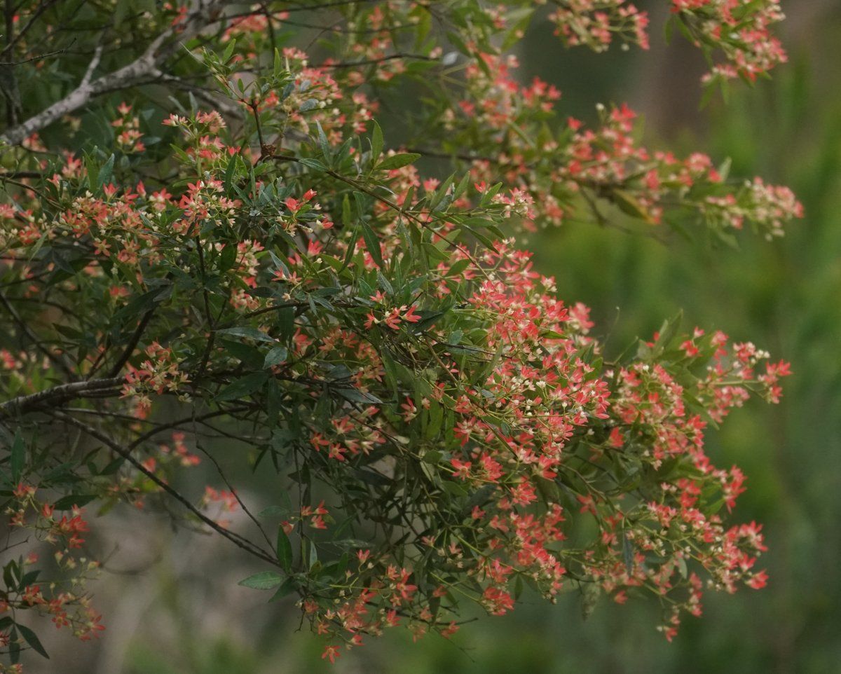
The slopes were Sydney Coastal Sandstone Gully Forest: Sydney peppermint (Eucalyptus piperita) and Sydney red gum (Angophora costata) over smaller trees of NSW Christmas bush (Ceratopetalum gummiferum) and old man banksia (Banksia serrata). Down in the sheltered creeks there was a little coachwood rainforest, and at the water's edge, a small fringe of mangroves.
If you want to check which community your block was, my which plant community guide walks through it.
East Lindfield soil type: sandstone
| Soil landscape | Share of the suburb | Rock underneath | What it's like |
|---|---|---|---|
| Hawkesbury | about 42% | Hawkesbury Sandstone | Steep, rocky, shallow sand, extreme erosion hazard, very low fertility |
| Gymea | about 38% | Hawkesbury Sandstone | Sandy soils with rock benches, permeable, very low fertility |
| Lucas Heights | about 19% | Mittagong Formation | Hard-setting yellow clay soils, stony, low fertility, holds little water |
| Mangrove Creek | under 1% | Estuarine sediment | Tidal flats, saline, potential acid sulfate soils |
What that means in the garden
Most of the suburb (Hawkesbury and Gymea): sandy, shallow and very low in nutrients. The soil survey describes Gymea soils as highly permeable, with very low phosphorus and nitrogen, and Hawkesbury soils as shallow, rocky and commonly water repellent, with an extreme erosion hazard on the steep slopes. It rates the Hawkesbury landscape as generally not capable of urban development, which helps explain why the gullies around East Lindfield are still bush.
In practice: plants from the local sandstone communities do best, fertiliser should be low in phosphorus, and mulch and a wetting agent help water soak in rather than run off. My native plant finder lists plants that suit sandy soils.
In the south-west, towards Lindfield (Lucas Heights): hard-setting yellow clay on the Mittagong Formation, stony and low in fertility. It sets hard when dry and drains slowly when wet. Organic matter on the surface and good mulch make the biggest difference.
On the tidal edge (Mangrove Creek): the survey warns these tidal soils are saline and potentially acid sulfate. Leave them alone; don't drain or dig them.
How the 1800s changed East Lindfield's soil
East Lindfield wasn't a separate place in the 1800s. It was the eastern side of Lindfield, and the history I can find about it specifically is thin. What the records do show is that the land here stayed undeveloped for a long time. Crown land sale plans held by the State Library of NSW list Wellington and Carlyle roads in sales of Crown land at Lindfield between 1888 and 1895. Much later, there were sales of "Crown Lands, East Lindfield" in February 1958 and August 1962, covering streets like Springdale Road, Wellington Road, Allambie Avenue, Karoo Avenue and Sylvan Avenue.
What that meant for the soil:
- Crown land sales here ran from the 1880s to the 1960s, so parts of the suburb were still unsold Crown land well after World War II.
- The steep sandstone, which the soil survey rates as generally not capable of urban development, is still largely bushland, creek reserve or national park.
- I haven't found a reliable record of orchards or farms in East Lindfield itself, so I won't guess at how much of the soil here was ever cultivated.
East Lindfield gardens today
Post-war houses on sandstone
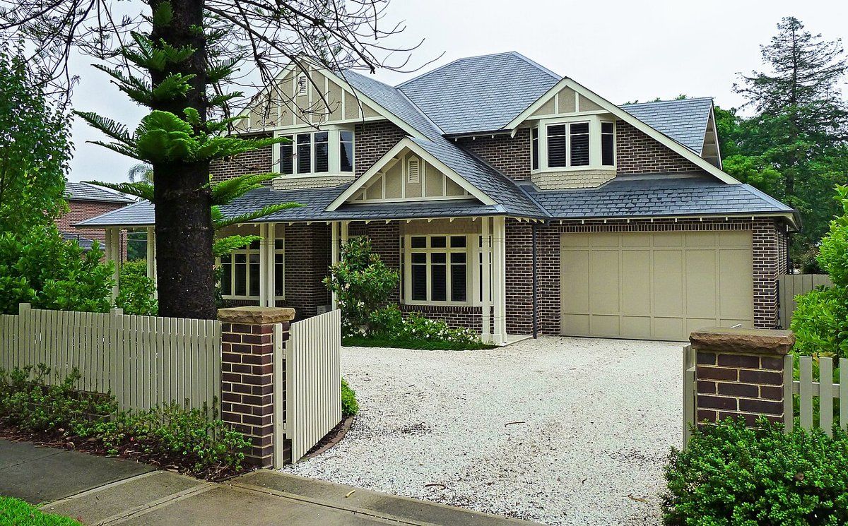
With Crown land still being sold in the 1950s and 1960s, many East Lindfield houses and gardens are post-war. The council lists no heritage conservation areas in East Lindfield; the nearby Middle Harbour Road conservation area is listed under Lindfield.
Gardens on the bush edge
East Lindfield Park adjoins Garigal National Park, and many blocks back straight onto bush. Garden plants that spread by seed or runners are the biggest risk to it. The soil survey notes that privet, lantana, morning glory and wandering jew wash into the sandstone valley floors with sediment. My weeds guide covers the worst offenders and what to plant instead.
Working on your garden in East Lindfield
I work across Sydney's North Shore, including East Lindfield (see my Ku-ring-gai area page). Nearby suburbs in this series are Lindfield, East Killara and Roseville.
Sources
- NSW DCCEEW, State Vegetation Type Map, pre-1750 Plant Community Types (map service VIS/SVTM_NSW_1750_PCT), queried 13 Oct 2026
- NSW Spatial Services, NSW Administrative Boundaries, Suburb layer (East Lindfield, 233 ha) and NPWS Reserve layer (overlay: about 30 ha inside Garigal National Park)
- BioNet Vegetation Classification, PCT definitions 3262, 3595, 3592, 3176, 3593 and 3038
- NSW Threatened Species profile, Sydney Turpentine-Ironbark Forest in the Sydney Basin Bioregion
- NSW DCCEEW, Soil Landscapes of the Sydney 1:100,000 Sheet (Chapman & Murphy 1989; map ed. 4, 2009), map service Soil_Landscape/Sydney queried 13 Oct 2026
- NSW DCCEEW eSPADE, Hawkesbury (ha) soil landscape report, from Chapman & Murphy 1989
- NSW DCCEEW eSPADE, Gymea (gy) soil landscape report, from Chapman & Murphy 1989
- NSW DCCEEW eSPADE, Lucas Heights (lh) soil landscape report, from Chapman & Murphy 1989
- NSW DCCEEW eSPADE, Mangrove Creek (mc) soil landscape report, from Chapman & Murphy 1989
- Dictionary of Sydney, East Lindfield (place record)
- Dictionary of Sydney, Lindfield
- State Library of NSW, Lindfield subdivision plans (content list)